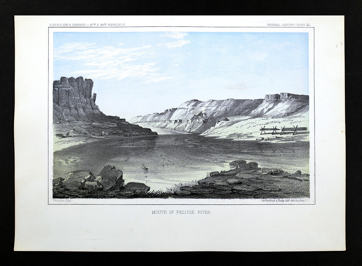
c 1855 USPRR Survey Print Survey Camp Maple River South Dakota Tents Landscape
$ 14.78
Description
c 1855 USPRR Survey Print Survey Camp Maple River South Dakota Tents Landscape. It was the most thorough exploration of the US West since the Lewis and Clark Expedition of 1804. The task was finally completed on May 10, 1869 with the ceremonial driving of the golden spike at Promontory Summit, Utah. Lake Erie Maps & Prints An Original Antique Map: Not a Modern Reproduction! Free US Shipping on Purchases of 5 or More Maps or Prints Description: It is an authentic antique lithograph print approximately 170 years old from the Congressional publication: Reports of Explorations and Surveys to Ascertain the Most Practicable and Economical Route for a Railroad from the Mississippi River to the Pacific Ocean (Washington DC) also commonly known as the "US Pacific Railroad Surveys" or USPRR Explorations and Surveys as stated in the upper left corner of the print. Congress authorized the Department of War under Jefferson Davis (US Secretary of War) to undertake several expeditions to explore and survey possible transcontinental railroad routes to the Pacific Ocean from 1853-55. The teams were made up of soldiers, surveyors, scientists and artists who recorded the geology, terrain, plants, animals, birds and the various Native American tribes as they searched for the best route west. It was the most thorough exploration of the US West since the Lewis and Clark Expedition of 1804 . The reports were gradually published by the US government from 1855-61 resulting in a massive 12 volume set, which the US Congress studied to pass the Pacific Railroad Act of 1862, authorizing the construction of a Transcontinental Railroad to be funded by government bonds and land grants. The construction was granted to the Union Pacific and the Central Pacific Railroads. The task was finally completed on May 10, 1869 with the ceremonial driving of the golden spike at Promontory Summit, Utah. The print is not matted nor framed, being sold as a single loose print as seen in the main pic photographed against a black background. Size: The print area measures approximately 6 1/2 by 9 inches on an 8 by 11" page (20x28cm) Condition: It is in Very Good condition for its age, blank on reverse on a heavy page, very clean, see the pics for more on the condition. The pics are of the actual print. Shipping: We only charge one nominal shipping fee and do combine additional maps or prints at no extra costs and gladly refund extra shipping when purchased individually and shipped together. For multiple purchases it is best to use the ebay cart system which will automatically calculate the correct shipping when multiple maps are purchased at once and there is free US domestic shipping on 5 or more maps. International rates apply elsewhere. International Shipping: We only ship insured through the ebay International shipping program. For insurance reasons we cannot ship to International PO boxes nor third party addresses, only to the official ebay address at the time of purchase. Satisfaction Guaranteed: We stand fully behind our products and offer a full refund minus shipping with no questions asked.